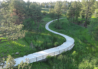
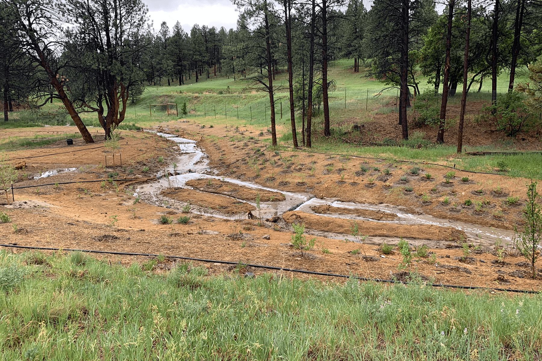
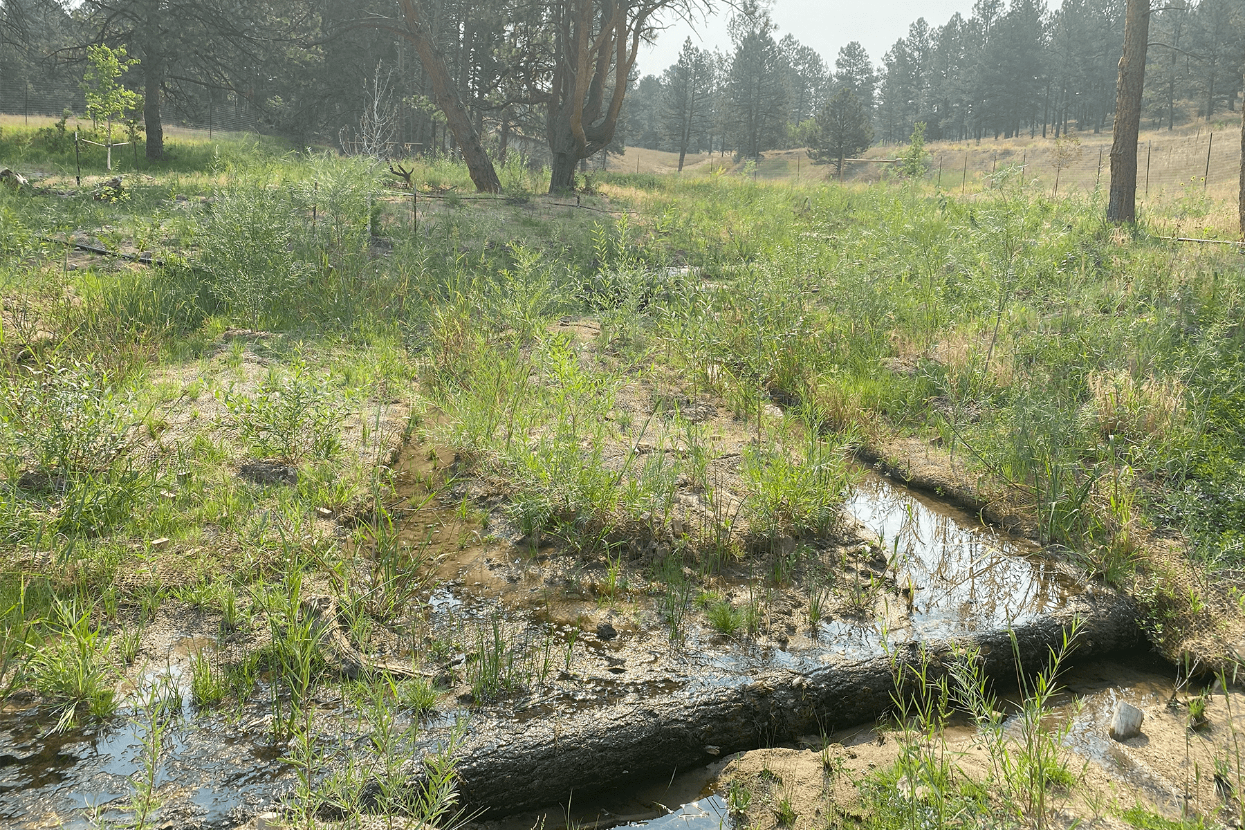
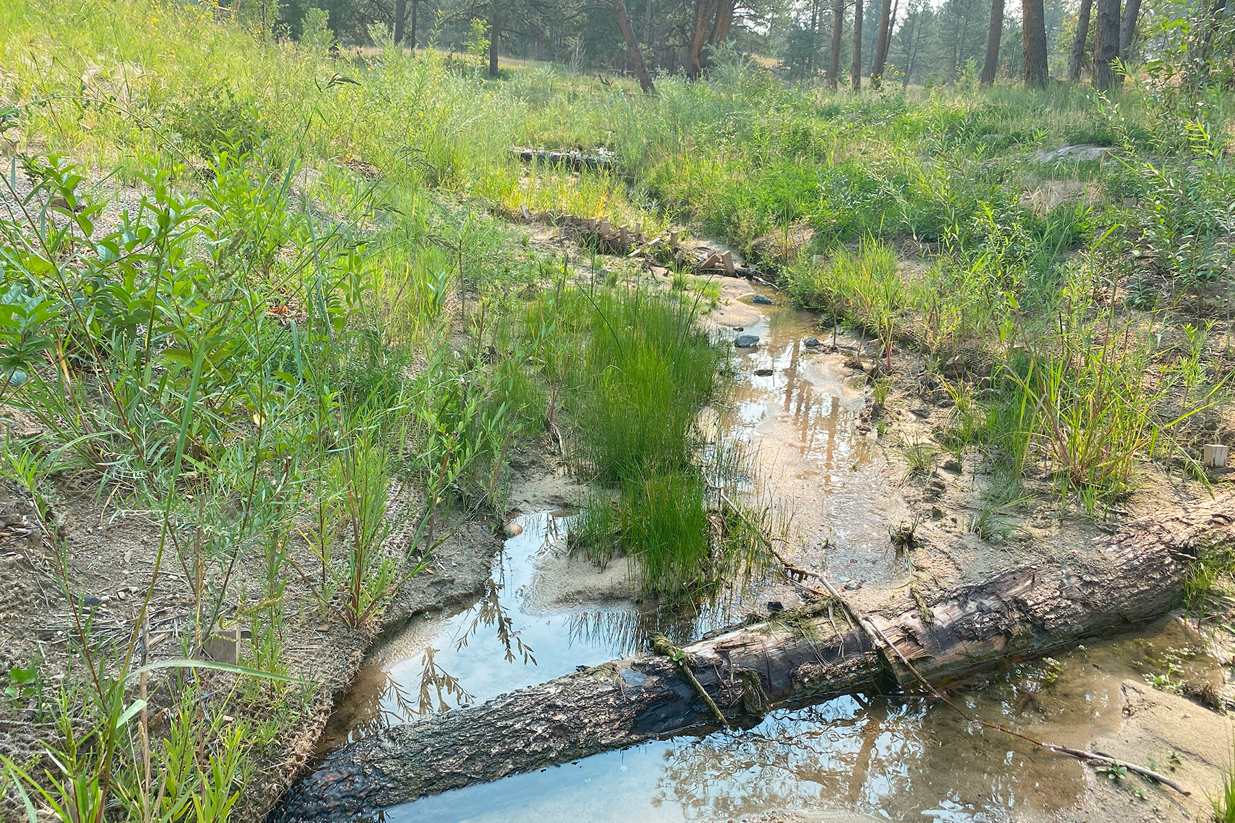
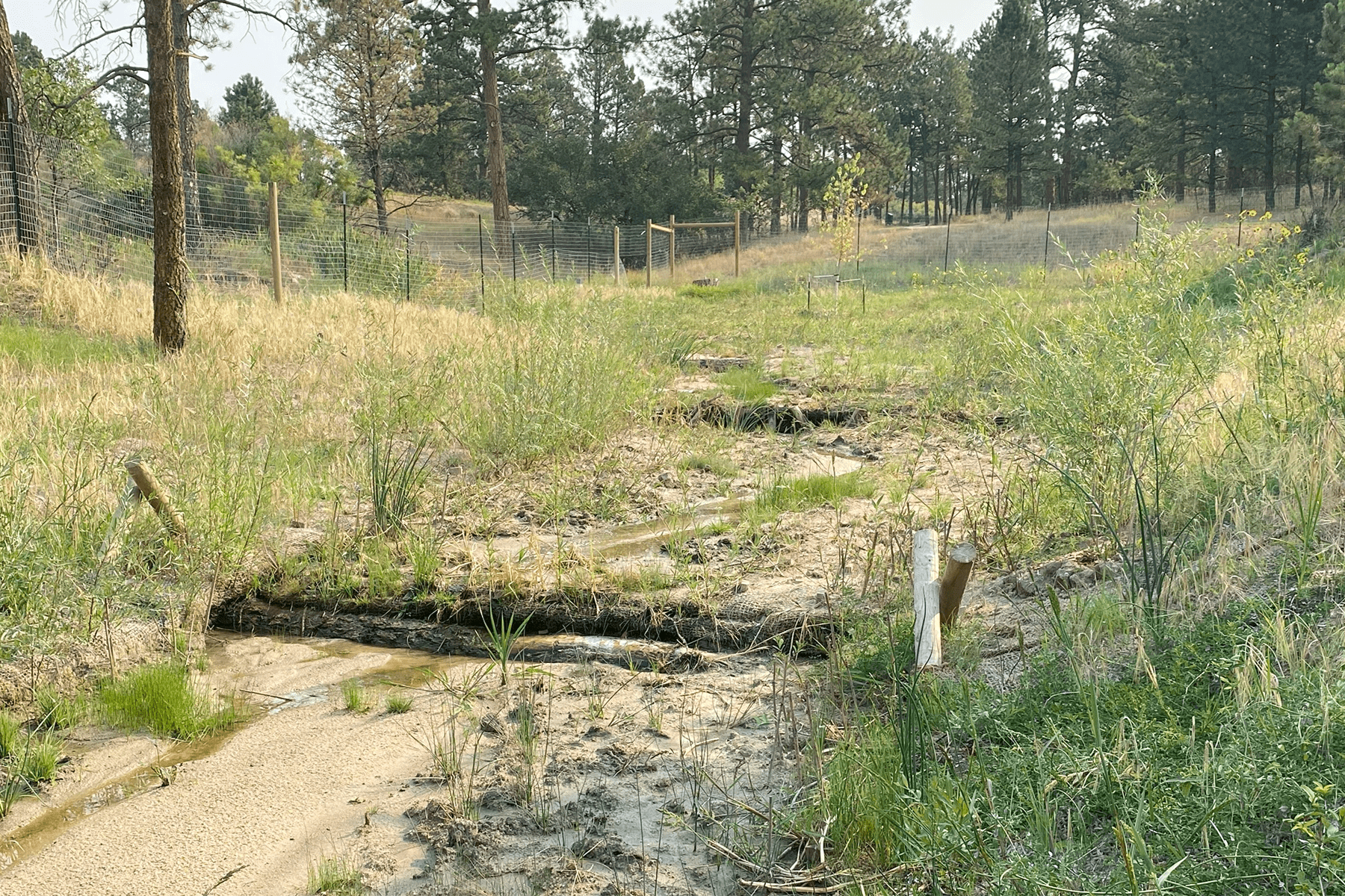
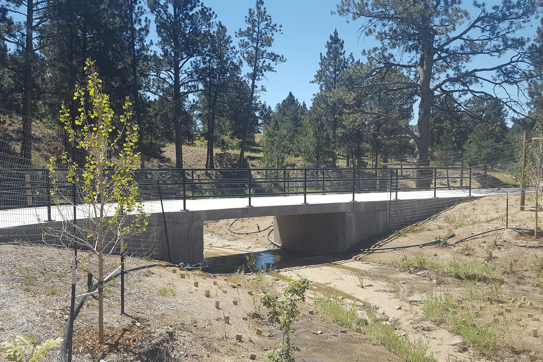
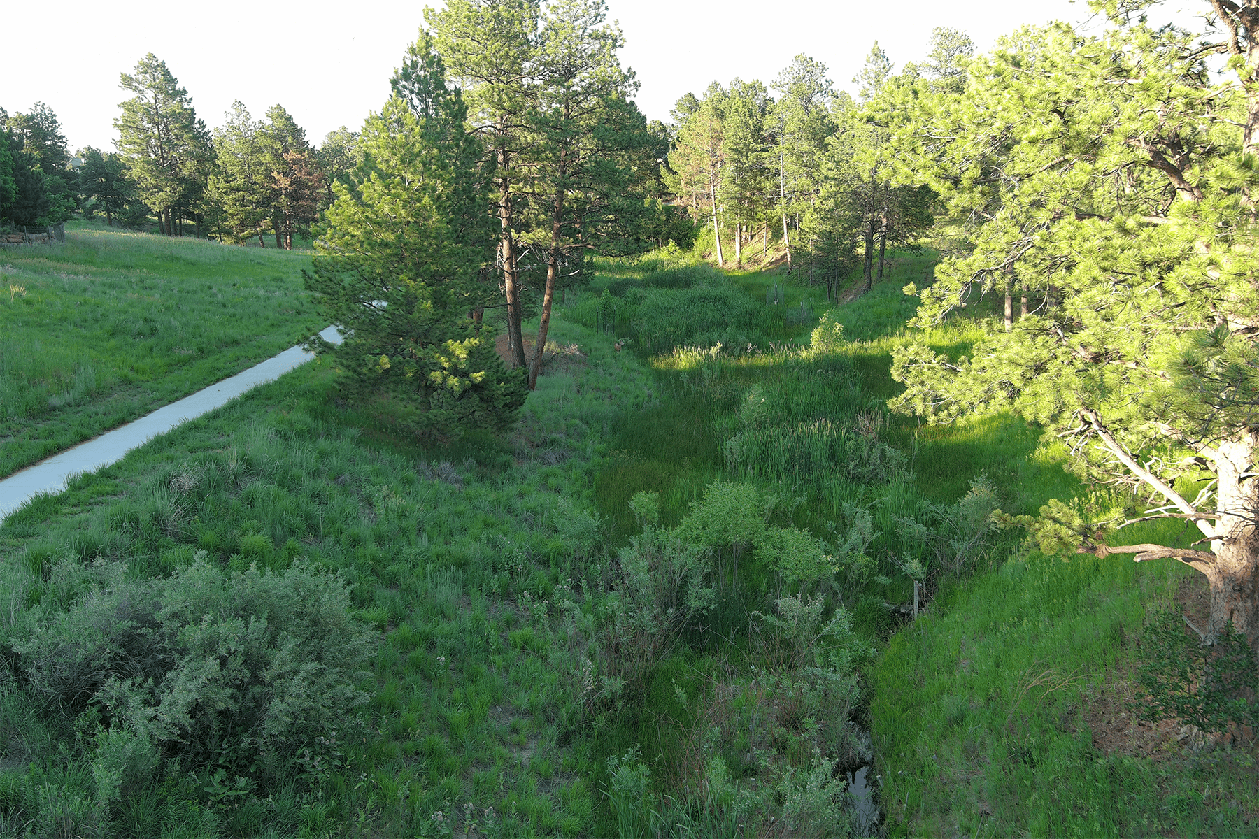
Muller performed design engineering for roughly 3,700 linear feet of channel stabilization improvements to an upper portion of Timbers Creek located at elevations 6,200 to 6,300. This portion of Timbers Creek has intermittent flow, an active sand bed, and is situated within a mature Ponderosa Pine forest. The sand bed system is highly erosive and existing channel conditions contained severe headcutting and bank erosion. Two goals were quickly identified in the design process; incorporate engineering techniques which would reliably stabilize the sand conditions, and develop a design which compliments the unique character of the forested landscape. Muller developed a design approach which provided the desired stability using economical materials and steeper than typical channel slopes which provided construction cost savings. The design incorporated low-height timber log structures, weaved willow structures, and a wide assortment of revegetation techniques and plant species to blend with and enhance the unique ecological environment. To minimize impacts to the mature Ponderosa Pines, a preliminary design alignment was staked in the field which avoided trees and reduced grading impacts. The alignment was then surveyed and utilized to develop the final design layout and grading. A significant and innovative design element was to construct below grade clay cutoff walls intermittently along the length of the channel. The cutoff walls successfully redirect shallow groundwater flow within the sandy system to the surface which in turn supports the diverse revegetation plan, provides the desired channel stability, and eliminated the need for concrete grade control or rock lining. A concrete crossing of the drainageway was installed to enhance the recreation trail system.
1 Pedestrian Bridge | 1 14 foot Concrete Box Culvert | 53 Grade Control Structures | 0.5 miles of Greenway Trail | 0.52 miles of Stream Restoration/Stream Design | 0.5 miles of Non-Mountain Trail


