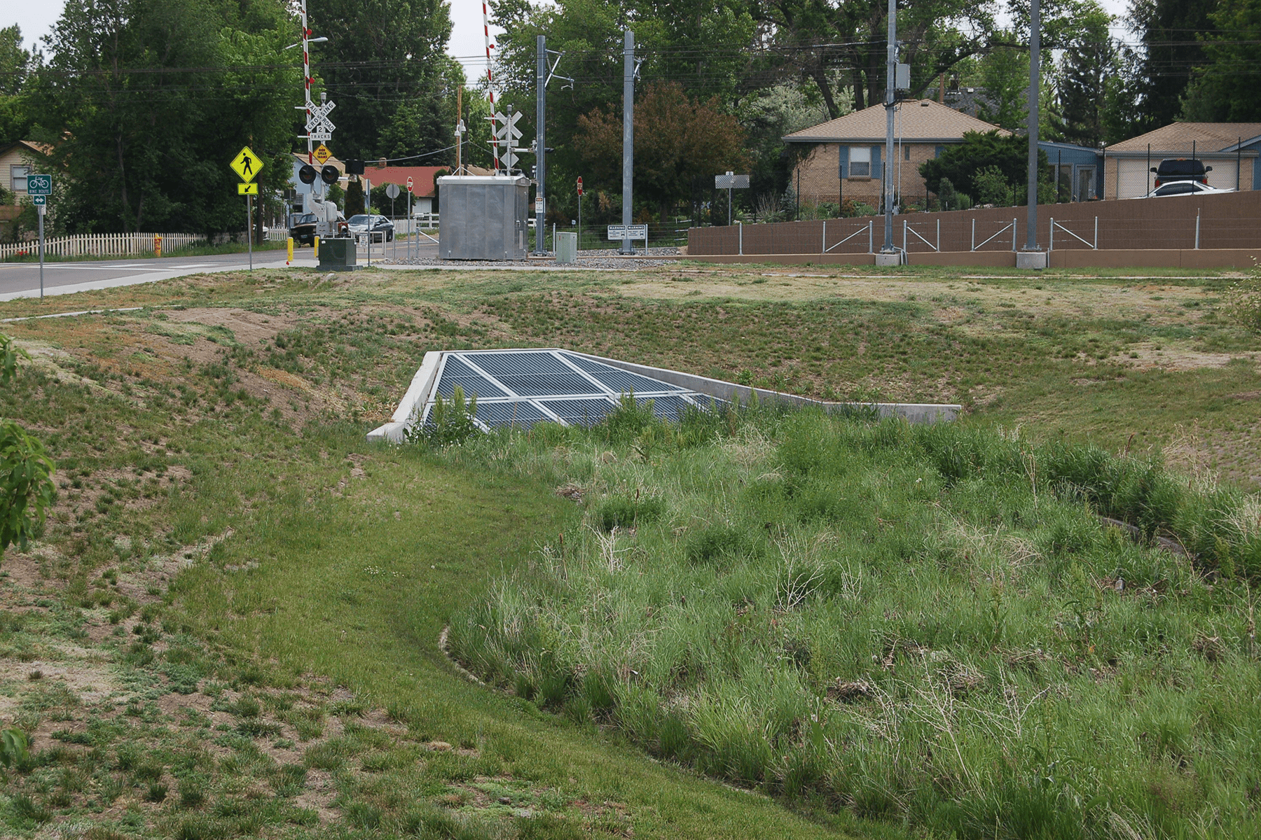
Drainage improvements for the West Corridor Light Rail Transit project included the design of a 2,000 linear foot, 6-foot-high by 10-foot-wide concrete box culvert for the Richey Park Outfall along Dry Gulch. This system is aligned within the track prism that required additional measures to maintain long term structural integrity and water tightness. Several other box culvert crossings were designed, including the North Dry Gulch crossing, that used an improved entrance to accommodate hydraulic conditions. Muller designed numerous other smaller storm sewer systems to route drainage across the track alignment to discharge points or provide connections to existing systems along the corridor with sizes ranging from 15-inch to 60-inch diameter pipes.
Design elements include major channel design and stabilization on Lakewood and Dry Gulch including a CLOMR to document the changes, local drainage throughout the light-rail corridor including proposed hydrology and storm sewer hydraulics, light rail station drainage including hydraulics for multi-stage water quality pond outlet structures, channel and crossing designs for several irrigation ditches including take-out structure design, and the light rail track underdrain system design including proposed hydrology and underdrain hydraulics. Construction plans, specifications, and a drainage report have been completed for the entire project.
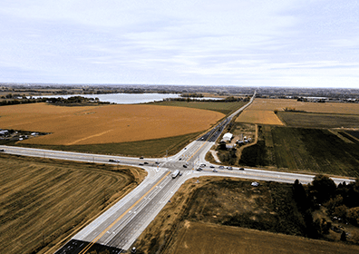
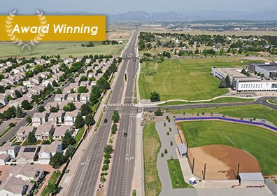
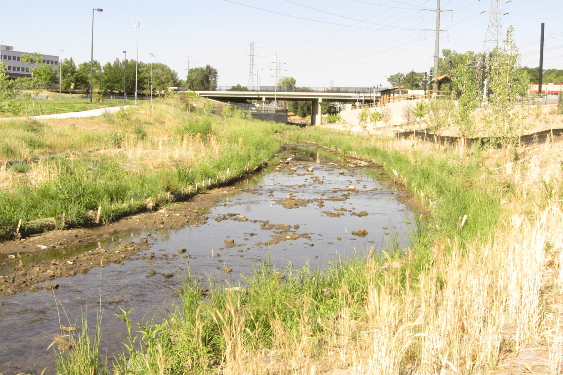
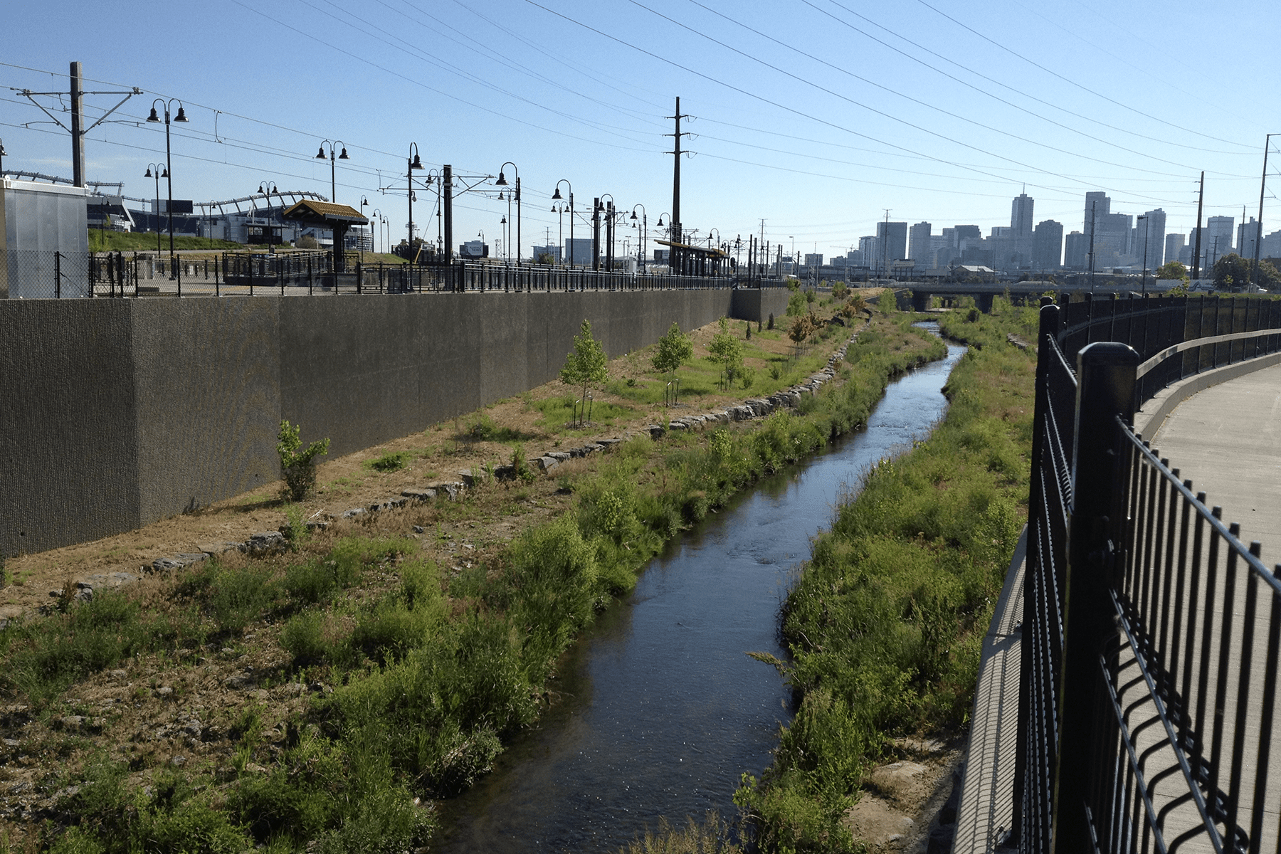
Local drainage for the west corridor consists of analyzing proposed hydrology to many design points and completing hydraulics for the storm sewer systems throughout approximately 12 miles of track passing through three different municipalities. Much of the stormwater infrastructure surrounding the corridor is non-existent or does not have the capacity for the major storm and to build out a stormwater system with major storm capacity along the entire corridor was too costly; so the local drainage system is designed to convey drainage under and around the light rail in a fashion that mimics existing drainage patterns. Local drainage elements include several storm sewer systems, trackside ditches and cross culverts, and some “bubbler” systems to maintain existing flow paths while protecting the track from the major storm event.
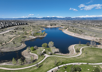
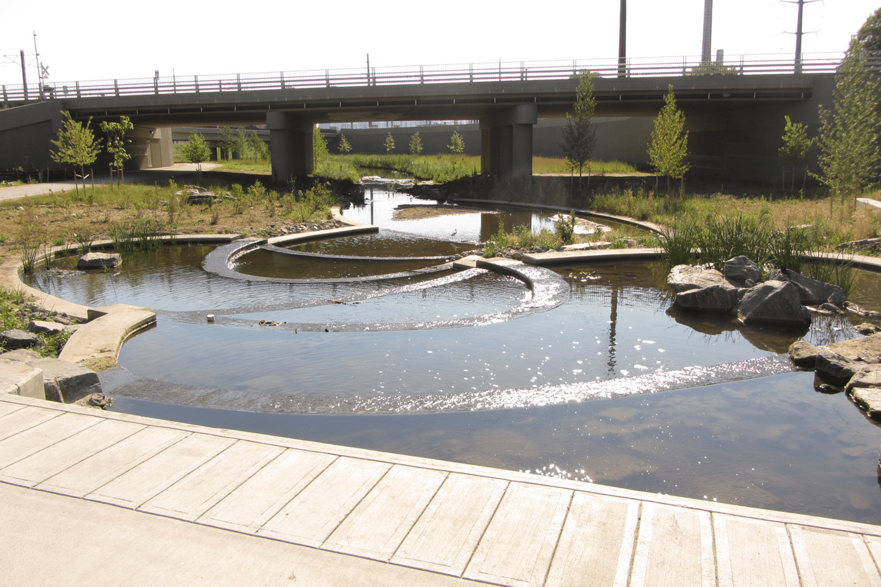
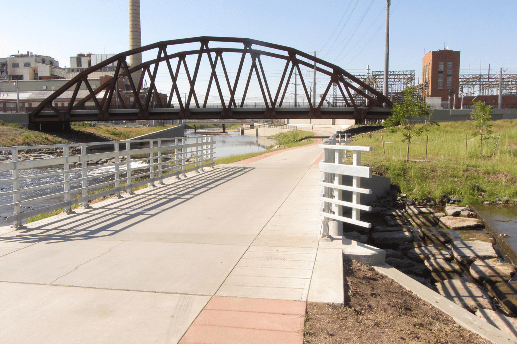
Major channel design was completed for approximately 2.5 channel miles on Lakewood Gulch and Dry Gulch. Design elements on both channels include the incorporation of master plan improvements, channel design for reaches that required realignment to accommodate the light rail, bank protection through existing channel reaches to protect the light rail from potential erosion, several grouted boulder drop structures (some with fish ladders) for channel stabilization, several culverts and bridges for roadway and track crossings, and a CLOMR floodplain analysis was completed and approved for all of the channel improvements.
Water quality for the west corridor consists of water quality for three light rail stations (Jefferson County Government Center, Oak Street, and Federal/Decatur Street), and two roadways (Sheridan Boulevard and Federal Boulevard). The Jefferson County Government Center and Oak Street stations are both traditional water quality ponds with outlet structures that drain to storm sewer systems, while the Federal Decatur Street station is an underground sand filter structure that drains to Lakewood Gulch. Design of all three water quality features incorporate 100% water quality capture volume and outlet structures. Water quality for both Sheridan Boulevard and Federal Boulevard consist of hydrodynamic separator systems due to space constraints.

