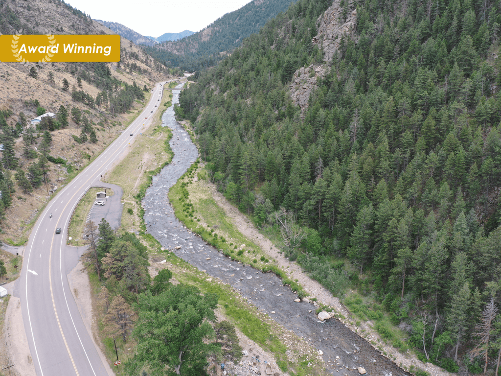
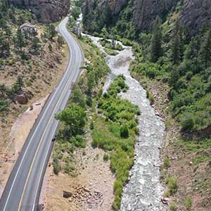
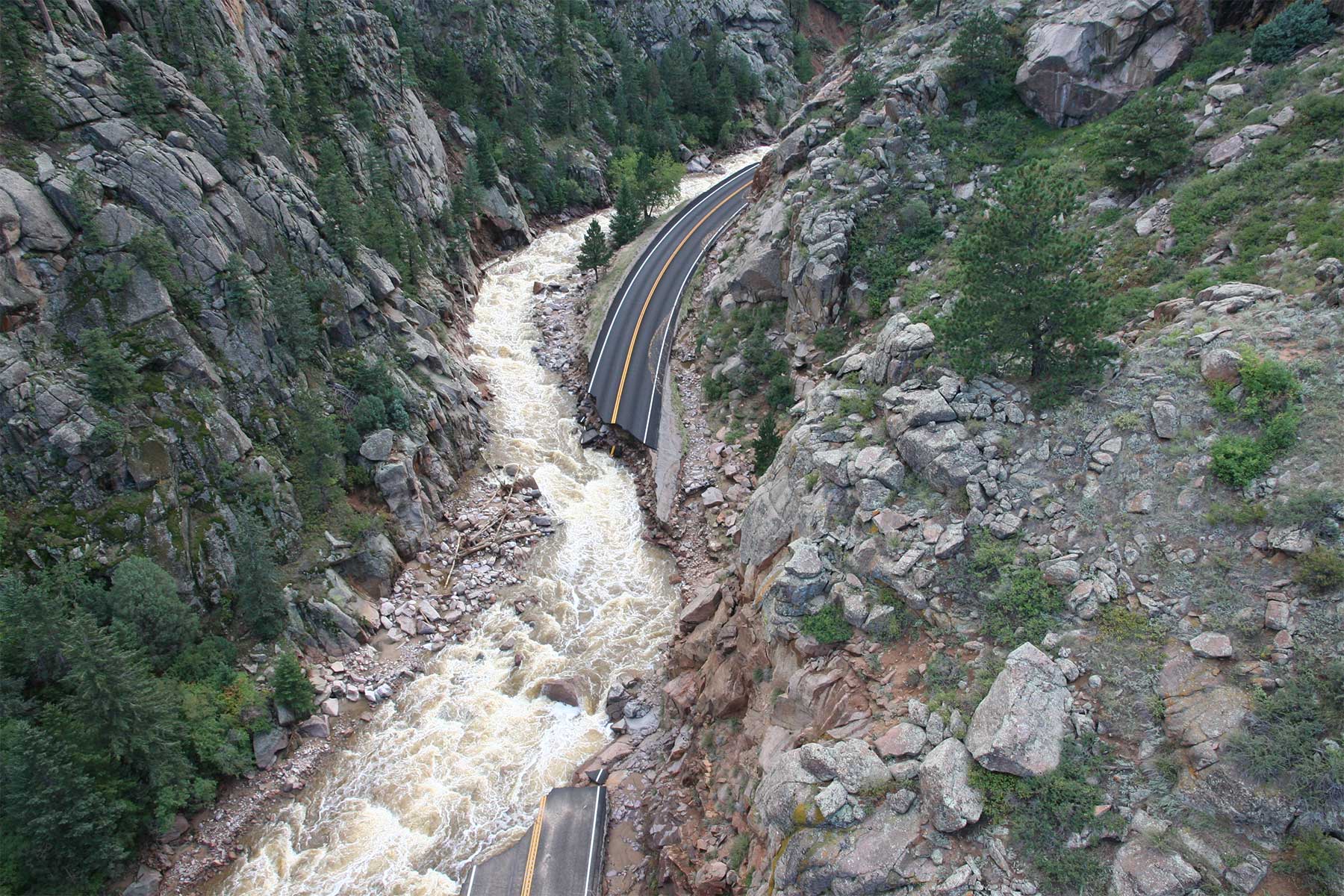
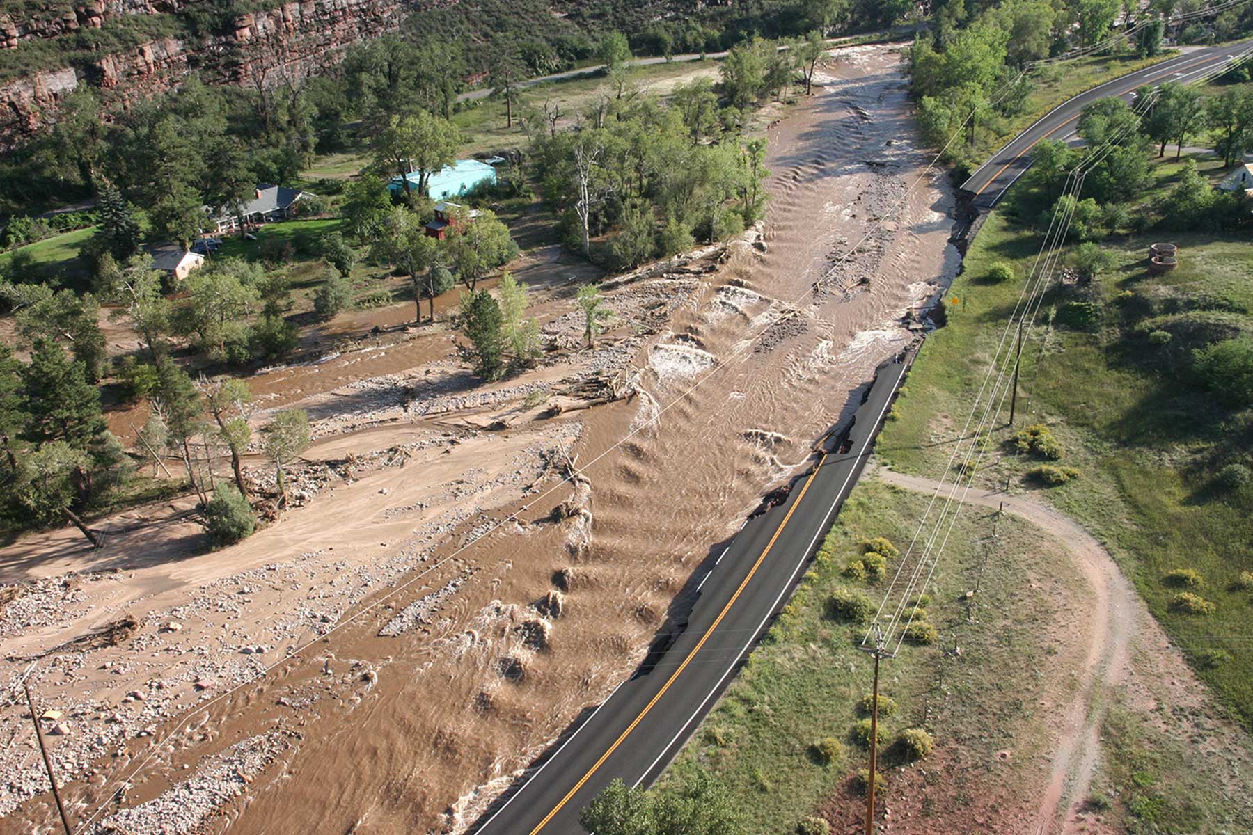
In September 2013, heavy rains caused catastrophic flooding and damage along Colorado’s Front Range. High flows and velocities in South Saint Vrain Creek caused lateral scour damage to adjacent roadway embankment, often occurring at outside bends in the creek and in areas where the flows exceeded the capacity of the creek and overtopped CO 7. The flood deposited large amounts of debris and sediment along its banks, compromising the hydraulic capacity of the creek and constricting flow. This contributed to embankment scour damage and full loss of many roadway segments through the CO 7 segment between mileposts 19 and 33, rendering the roadway impassable and precluding access in or out of the canyon.
This project provided design and construction engineering design support for permanent repairs of CO 7 and restoration of the creek. As a subconsultant on the project team, Muller provided analysis and design of hydraulic stream features and participated in stakeholder coordination and project workshops. Hydrology and hydraulic tasks included collection of available data, review of historic aerial imagery, and field reconnaissance of the corridor. Our team then recreated the HEC_RAS model of the creek utilizing updated hydrology and survey of the project corridor. We analyzed proposed major structures, developing water surface profiles and analysis of their hydraulic properties. We prepared channel grading designs including plan and profile sheets of multi-stage channel and floodplain design.
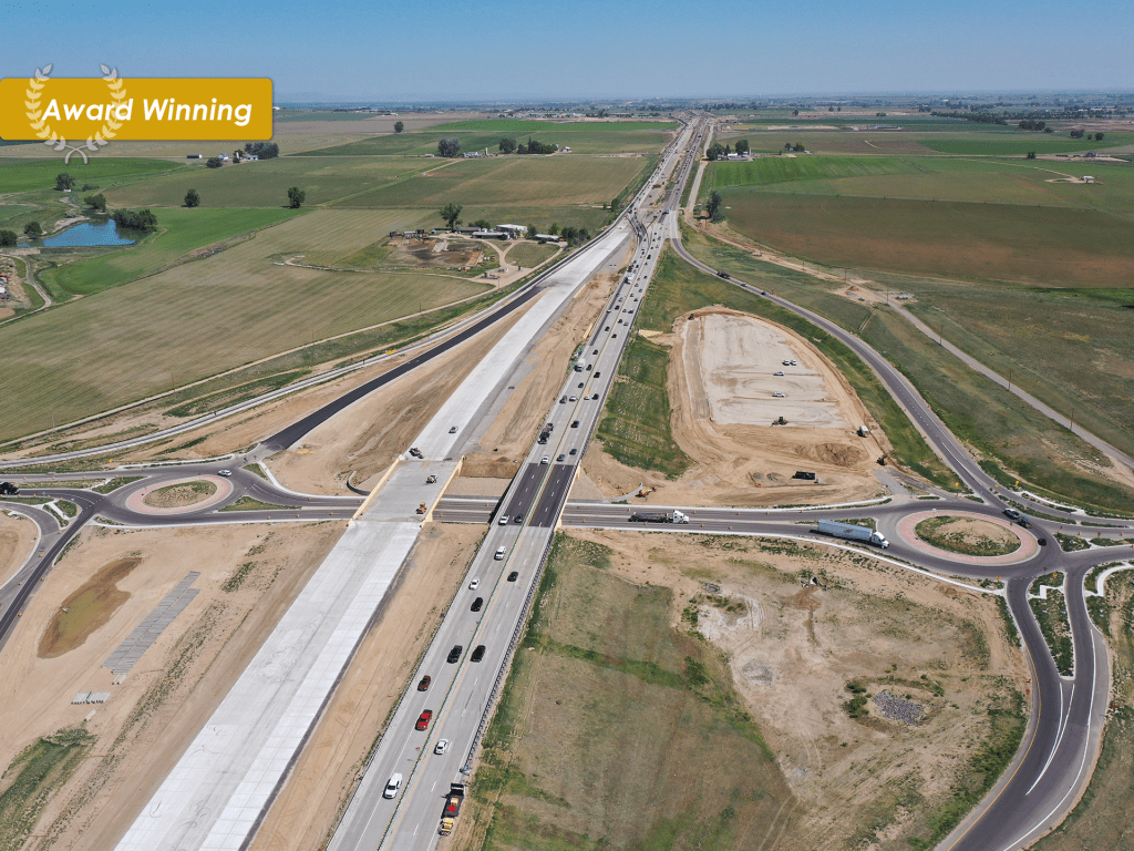
This project was completed through the Construction Manager/General Contractor (CM/GC) delivery process. Muller supported CDOT’s project management team through the process by organizing and attending and documenting CM/GC meetings, and support for risk registers, public and stakeholder involvement, Graphic Information Systems, IGAs and permit tracking. Muller also coordinated and attended a value engineering study for the project.
OWNER
CDOT Region 4
SERVICES
Program Management Stormwater & Floodplain Management
Statistics
13 Concrete Box Culverts | 1,010 Feet of Concrete Box Culvert Length | 321 Feet of Roadway Culverts | 1,852 Feet of Storm Drain | 6.6 Miles of Stream Restoration/Stream Design


