WONDERLAND CREEK FLOODPLAIN AND GREENWAY IMPROVEMENT
Boulder, Colorado
Before the completion of the Wonderland Creek Floodplain and Greenway Improvement project in Boulder, Colorado, flood risk was very real, especially for those living in the 450 multifamily dwelling units previously located in the 100-year floodplain. Risk turned into frightening reality during the 2013 floods, which caused catastrophic flooding in Northern Colorado. Property in Boulder County was destroyed by the overflowing creek and more than 18 inches of heavy rain during the eight-day storm. Along Wonderland Creek, one woman nearly drowned, and another was rescued by a helicopter, as the relentlessly rising water entered many homes and ground-level apartments (see image at right).
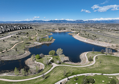
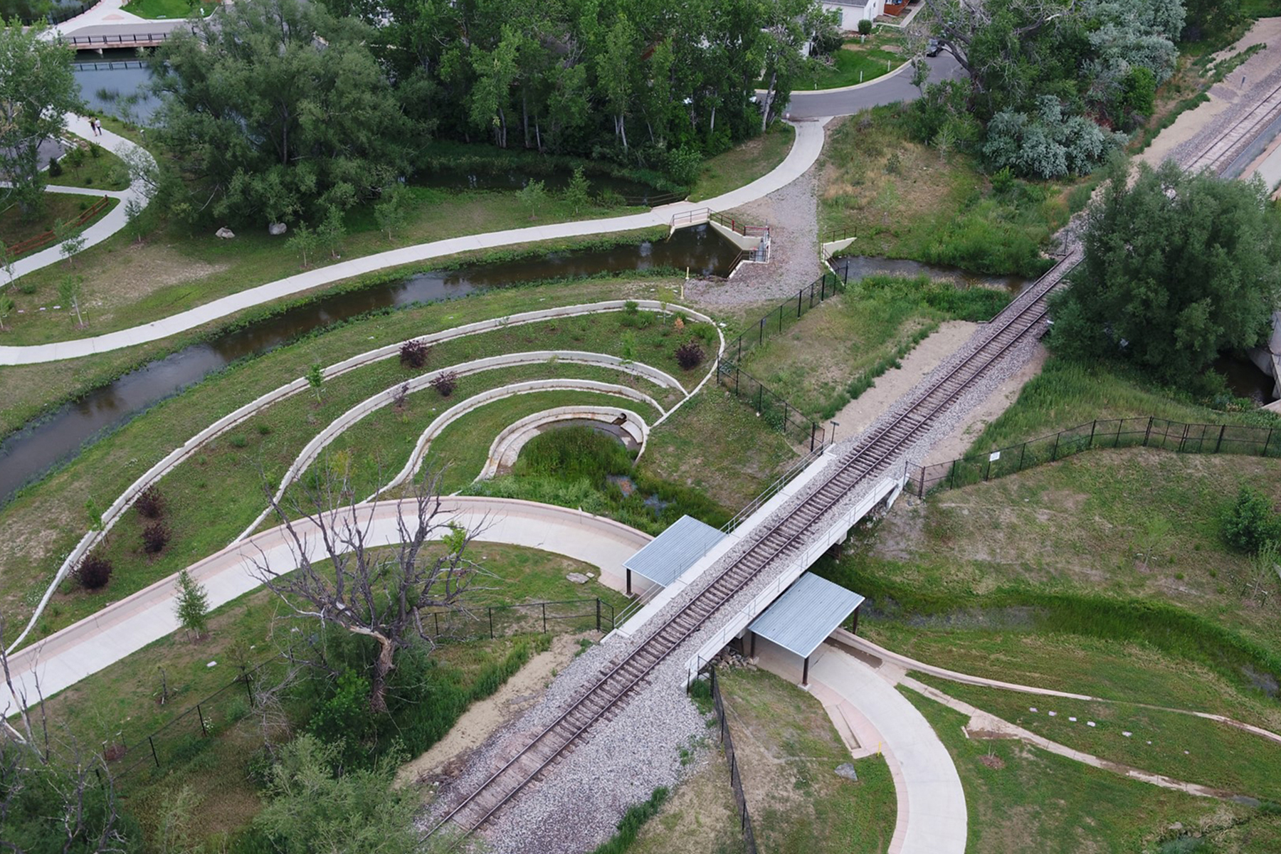
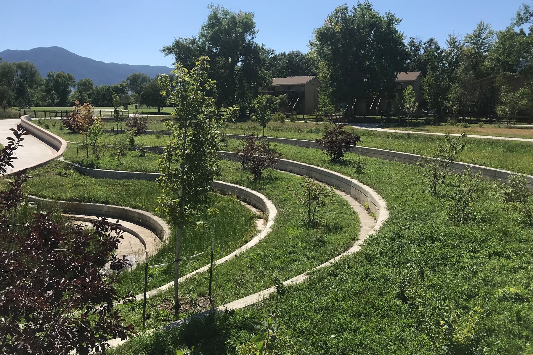
Working with the City of Boulder (Boulder) and the Mile High Flood District (MHFD), Muller Engineering Company (Muller) developed a design concept reducing the floodplain and protecting residents in a corridor that includes six road crossings, an irrigation ditch, and a railroad. While the floodplain improvements were significant, Boulder also tasked the team with meeting complicated multimodal transportation system connectivity and recreational goals. Wonderland Creek Greenway includes 1.4 miles of concrete multi-purpose trail that parallels Wonderland Creek through residential neighborhoods and provides connections to the Longmont-to-Boulder Regional Trail, the Goose Creek Greenway, and the Valmont Bike Park. This “easy”-rated trail attracts hikers and bikers and is wheelchair accessible, all incredibly important to Boulder’s outdoor recreation focused community. In the end, the project team accomplished significant improvements which created a multi-functional, usable, and beautiful space including:
Holistically blending natural channel design techniques with structural engineering to effectively convey flows
Completing roughly 2,900 feet of critical, missing segments of the Wonderland Creek Greenway trail
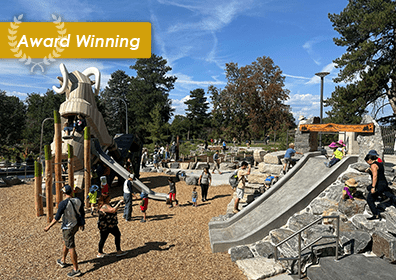
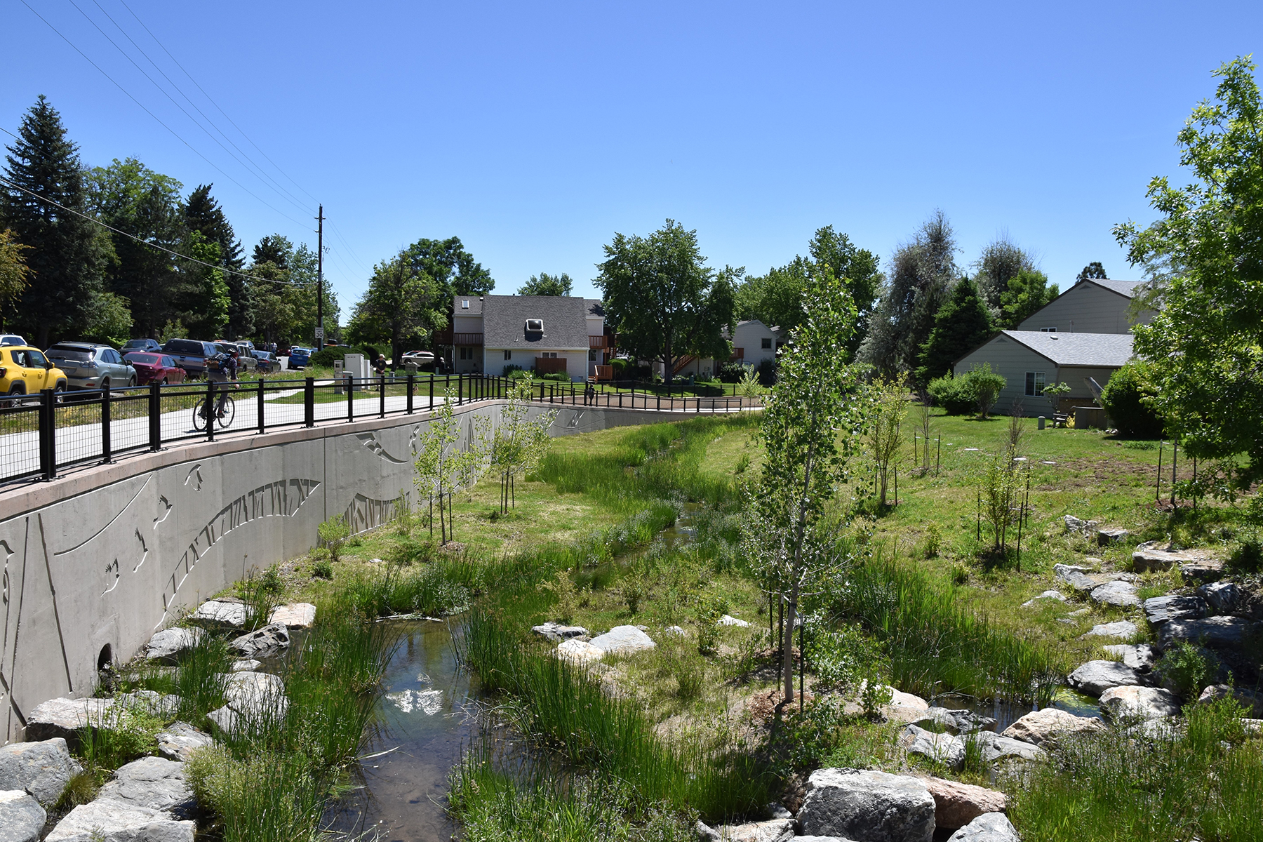
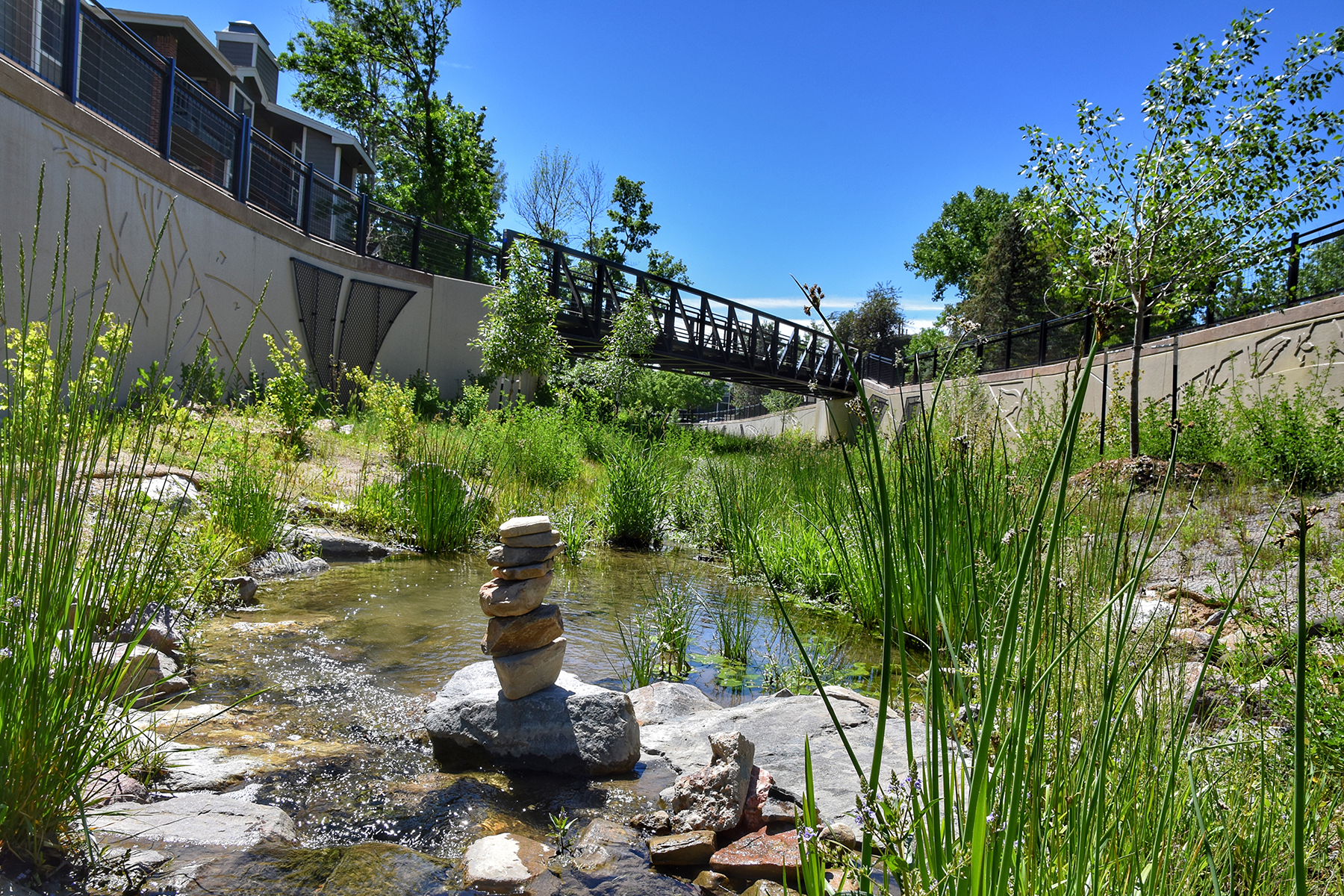
Creating and restoring landscaping to provide a diverse, visual enhancement, and ecological amenity to area wildlife
Realigning the Boulder & White Rock Ditch
Providing stream restoration and creation of more than 900 feet of new open channel
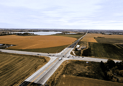
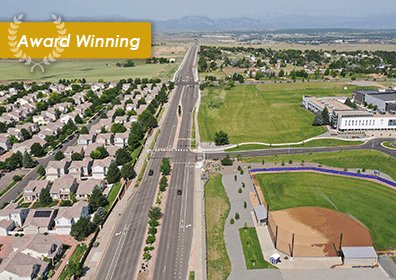
Reconfiguring Iris Avenue to better support neighborhood access and safety
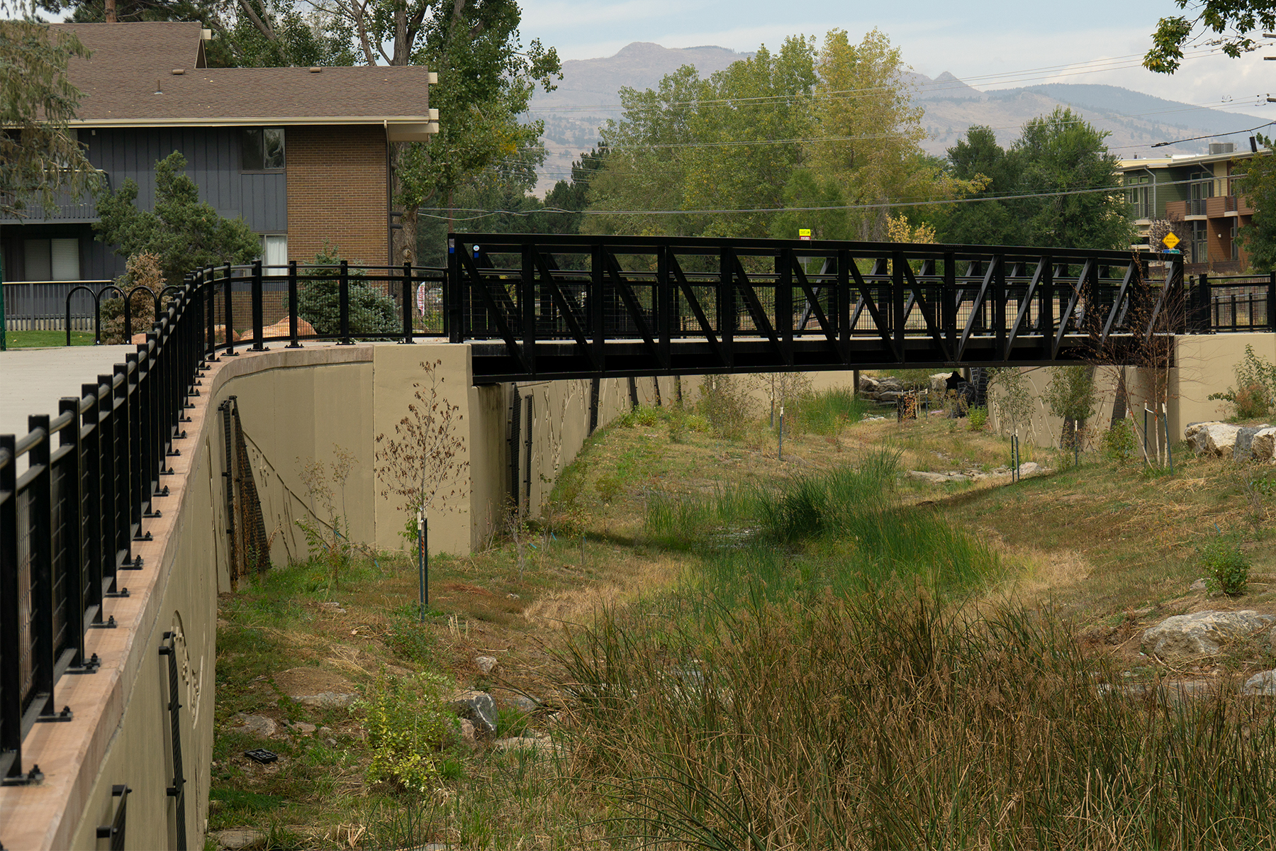
Integrating unique artwork and detailing to create aesthetic concrete flood walls
Extending and grade separating the regional trail from the railroad and two road crossings, providing a safer trail experience for recreational users and bicycle commuters
Relocating numerous dry and wet utilities
Designing an innovative in-channel flow control structure (spillway) to allow Wonderland Creek flood flows to cross the Boulder & White Rock Ditch and under BNSF Railway in a hydraulically controlled condition and continue downstream while also reducing the floodplain
The complex spillway design alone involved a six-year effort to coordinate and construct a new Burlington Northern Santa Fe Railway (BNSF Railway) bridge and trail underpass to provide a safe crossing and provide flood conveyance. Construction of the $21 million Wonderland Creek Floodplain and Greenway Improvement project was completed over a three-year period from 2015 to 2018.
American Society of Landscape Architects – Colorado Chapter, Merit Award for Design
Colorado Association of Stormwater and Floodplain Managers (CASFM), Honor Award for Outstanding Achievement
ACEC Colorado Chapter Excellence Award for Engineering Excellence ACEC National Recognition Award for Engineering Excellence
Statistics
6 Bridge Hydraulic Designs and Scour Mitigations | 3 Pedestrian Bridges | 3 Pedestrian Underpasses | 390 Feet of Irrigation Ditches/Structures | 1 Intersection Design | 1 Railroad Crossings / Coordination | 5,120 Feet of Retaining Walls| 2 Urban Roadway Miles – Urban | 1 Mile of Stream Restoration/Stream Design | 6 Miles of Trail | 900 Feet of Water Lines
"I’d like to start off by saying how significant the impact of this project has had on our community. This project is the largest undertaking by our flood utility. The amount of protection this project provides, while balancing other project goals is truly something we are proud of."

