CO 52 Planning and Environmental Linkages Study and Access Control Plan
Northern Colorado
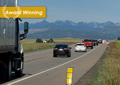
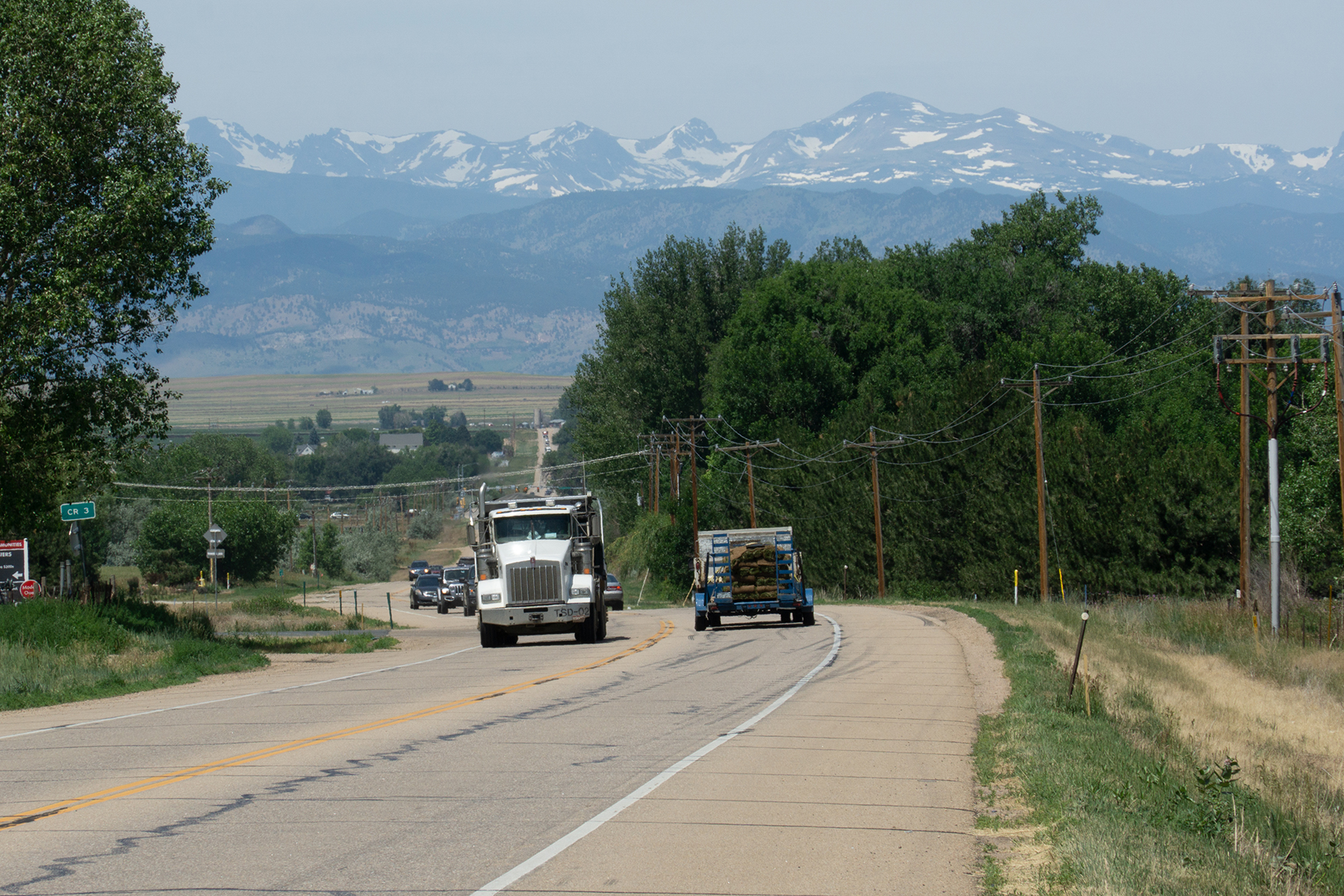
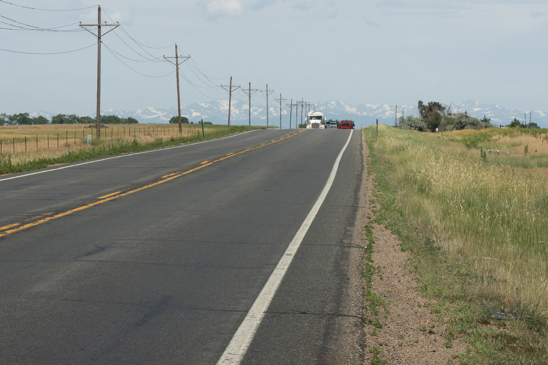
Muller led a multi-firm team in preparing a Planning and Environmental Linkages (PEL) Study and Access Control Plan (ACP) for the Colorado State Highway 52 (CO 52) Corridor. The study provides a roadmap for transportation solutions that CDOT and its local agency partners will work toward implementing. The project limits extend 42 miles along CO 52 from CO 119 north of Boulder in Boulder County to CO 79 east of Hudson in Weld County. CO 52 is a major east-west connection for the region, which is experiencing an increase in residential and commercial development. The corridor provides critical east-west access from residential and rural areas to business centers, as well as commercial freight from industrial centers along the corridor. Muller led a multi-disciplined team through the PEL process to recognize needs in the corridor, develop future transportation solutions, and identify potential funding and partnering opportunities. As a parallel process, the project team developed the ACP which will assist local agencies in making land use decisions and help preserve ROW for future corridor projects. The final PEL and ACP Reports provide a comprehensive corridor plan through collaborative stakeholder input from seven Local Agencies. The study identifies short and long-term improvements to increase corridor safety, maintain regional connectivity, improve functional integrity, and address current and future transportation needs along the corridor.
OWNER
CDOT Region 4
SERVICES
Environmental Transportation Planning & Design Traffic Engineering & ITS Program Management
41.7 Miles of Access Control Plan | 41.7 Miles of Corridor Planning Length | 41.7 Miles of Rural Roadway | 3 Railroad Crossings / Coordination
“At the project outset, the Muller team recognized that stakeholder communication and engagement was critical to completing this study on time. Stakeholders along this portion of CO 52 have widely disparate philosophies regarding transportation, presenting a significant risk to the success of this project.”
“CDOT and Muller both deserve a lot of credit for building an inclusive process that made participants and the community alike buy in and feel heard and respected.”

