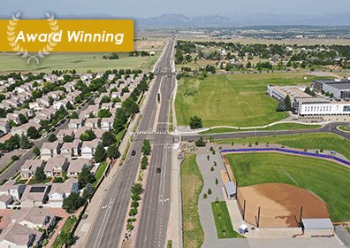
City and County of Denver Fiber Communications Mapping
denver, Colorado
Under an on-call contract for City and County of Denver (CCD), Muller updated the fiber optics mapping for CCD’s fiber optics network. CCD was transitioning infrastructure data management to a geographic information system (GIS)-based system. CCD’s existing fiber and network information was contained in two separate systems, neither GIS based: AutoCad (fiber, conduit, and splicing) and SolarWinds (network management). This project built the foundational GIS database that will serve CCD’s short-term goal (immediately improve troubleshooting) and long-term goals (GIS based asset management for fiber and network infrastructure).
Muller ITS engineers and GIS staff built and repaired the spatial datasets that served as a “functional network” which has both physical connections (the geometric network) and attributed data that describes each entity and segment’s connectivity. All data were prepared and delivered with a detailed guide for updates to maintain data integrity in the future. Once the process for the initial hubs was reviewed and verified by the project team, the remaining nine hubs were developed. This equates to approximately 1,230 network elements as outlined below:
Colorado Cherry Creek (215 network elements)
Roslyn Basement (110 network elements)
Montview Quebec (129 network elements)
Colorado 14th (205 network elements)
Terra (109 network elements)
Colfax Eliot (149 network elements)
Downing MLK (64 network elements)
Coors (129 network elements)
Washington 14th (118 network elements)
OWNER
City and County of Denver
SERVICES
Traffic Engineering & ITS Geographic Information Systems (GIS)


